
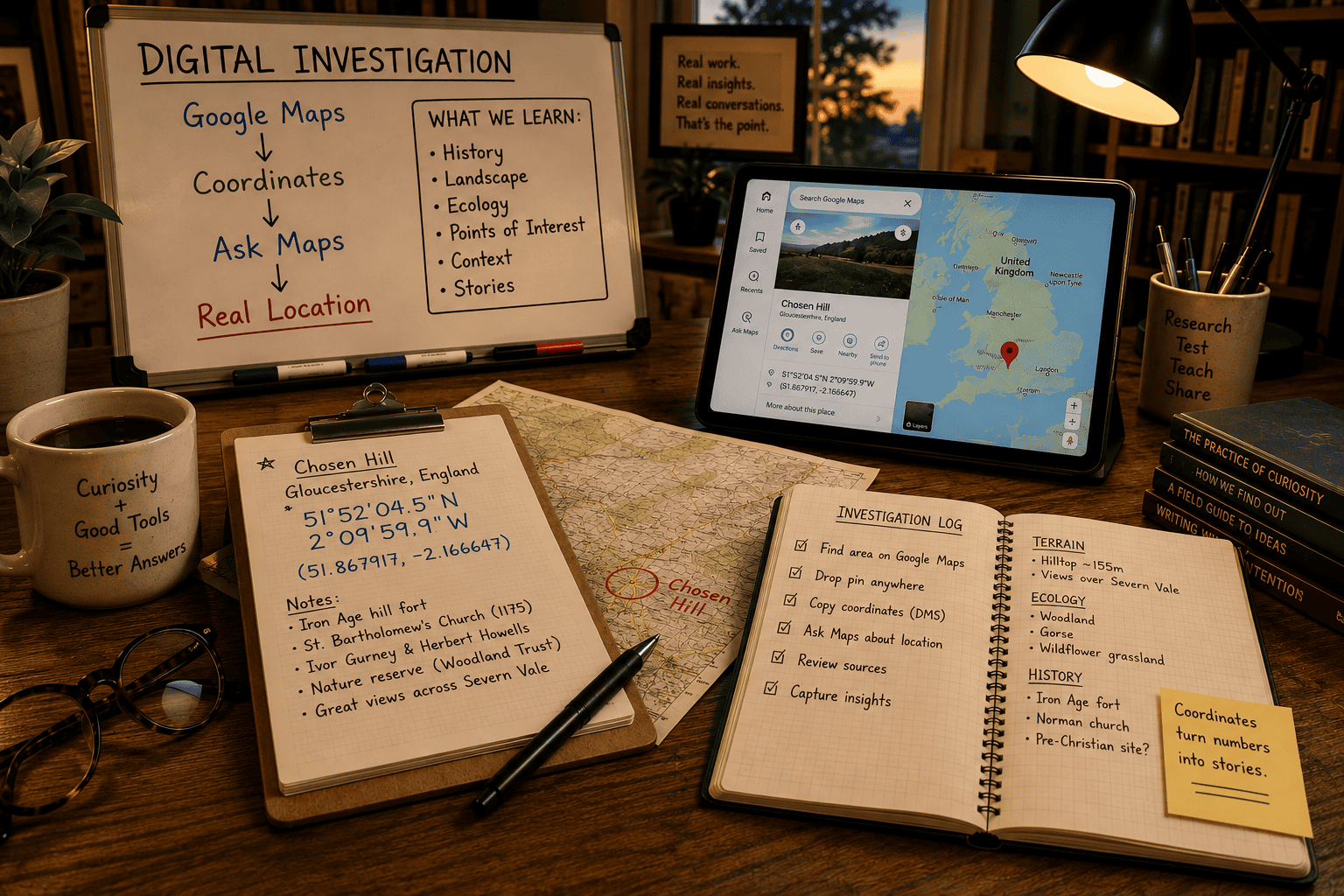
A walkthrough using a random spot in the United Kingdom as the example, including Google Maps’ “Ask Maps” feature for pulling detailed background on whatever you land on.
This process is useful any time you want to confirm exactly where a spot sits on the map and learn something real about it — checking a candidate location for a fictional setting, verifying a place name, or just satisfying curiosity about somewhere you’ve spotted on the map. It works anywhere in the world; this walkthrough happens to land on a hill in Gloucestershire, England, purely by chance.
Step 1: Search for the general area
Start with a broad search — here, “google maps united kingdom.” Google will return a map preview directly in the search results.
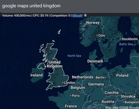
Searching “google maps united kingdom” returns a map preview.
Step 2: Open the full map
Click the map preview to open the full, interactive Google Maps view.
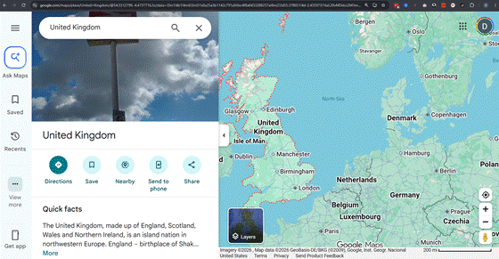
The full map view, ready for a closer look.
Step 3: Click anywhere you like
Left-click any spot on the map — it doesn’t need to be precise. Google Maps drops a pin and shows a card with a place name and, highlighted here, coordinates in decimal format. When you click on a broad or empty-looking area while zoomed out, the name attached to the card may just be the country or region — that’s expected, not an error. The coordinates themselves are always accurate to your click.
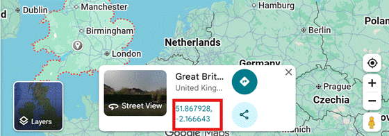
A pin drop shows a location card, with coordinates in decimal format highlighted.
Step 4: Click the coordinates to open the full details panel
Click directly on the decimal coordinates in the card. This opens a fuller details panel, where the same location is shown in the more familiar degrees-minutes-seconds format — the format worth copying.
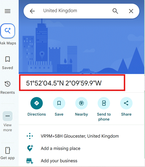
Clicking the decimal coordinates opens a panel showing them in degrees-minutes-seconds format.
Step 5: Copy the coordinates
Highlight and copy the degrees-minutes-seconds coordinates from this panel.
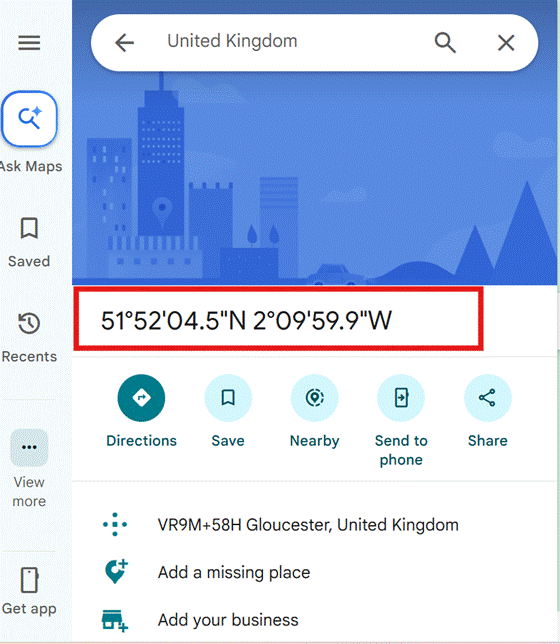
Highlight and copy the coordinates.
Step 6: Open Ask Maps
Click “Ask Maps” in the left-hand panel — this is Google Maps’ built-in AI assistant, and it can do far more than just confirm a pin location.
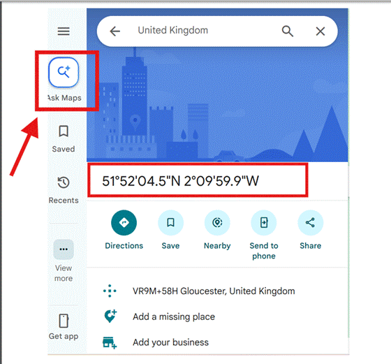
“Ask Maps” in the side panel.
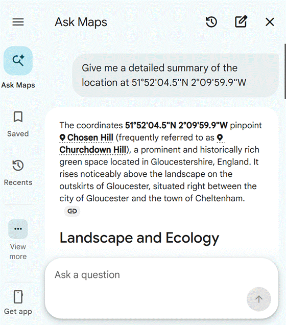
Step 7: Ask about the coordinates
Paste the coordinates into Ask Maps and ask it to tell you about that location. A prompt as simple as “Give me a detailed summary of the location at [coordinates]” is enough.
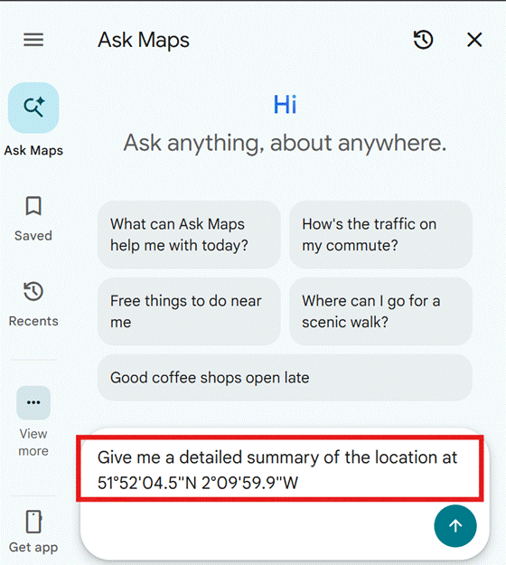
Asking Maps for information about the coordinates.
Step 8: Let it work
Maps will show a short series of progress messages as it checks various sources. This usually takes under a minute.
Progress messages while Maps gathers information.
Step 9: Scroll for the full answer
The response can run long. Scroll down to make sure you’ve seen all of it before copying anything.
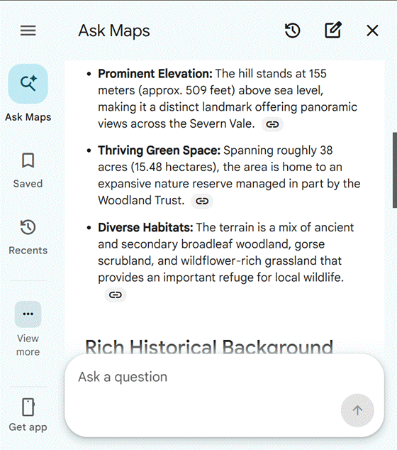
Scroll down for the complete response.
Step 10: Copy the result
The full write-up can be copied to your clipboard in one step from here.
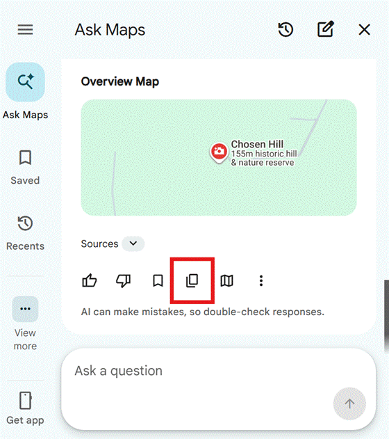
Copying the complete result.
What Came Back
In this example, the coordinates 51°52’04.5″N 2°09’59.9″W pinpointed Chosen Hill (frequently called Churchdown Hill), a prominent and historically rich green space in Gloucestershire, England, rising above the landscape between the city of Gloucester and the town of Cheltenham.
Landscape and Ecology
The hill stands about 155 meters (roughly 509 feet) above sea level, offering panoramic views across the Severn Vale. It spans roughly 38 acres and is home to a nature reserve managed in part by the Woodland Trust, with a mix of ancient and secondary broadleaf woodland, gorse scrubland, and wildflower-rich grassland.
Historical Background
The hill was the site of an Iron Age hill fort long before the modern era. Near its summit stands the Norman church of St Bartholomew, built around 1175, believed to sit atop an even older, pre-Christian temple site. The setting was a favorite haunt of early 20th-century English composers Ivor Gurney and Herbert Howells, and directly inspired Howells’ Piano Quartet in A minor and his piece Chosen Tune.
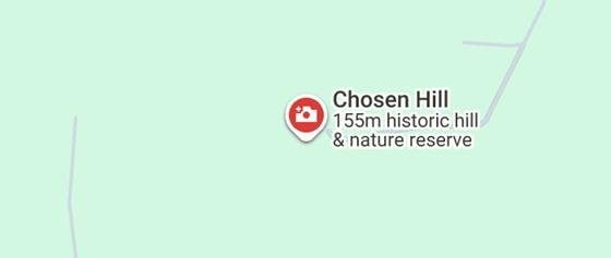
Overview map of the location Ask Maps identified.
Why This Is Useful
This same process works for any coordinates, anywhere. It’s a fast way to sanity-check a location you’re considering for a story, confirm what’s actually on a spot before you build around it, or just get real, sourced background on a place you’ve noticed on the map. The Ask Maps step is the part worth remembering — it turns a bare pair of coordinates into an actual written brief.